


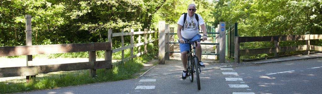
The Birmingham Cycling and Walking map is available online form and in paper form. Additionally, an open source map and journey planner is available from cycle streets. This useful tool shows cycle parking, cycle shops and other places of interest. If you wish to design your own map or app, OpenData is available.
The Birmingham Cycling & Walking map shows:
- Traffic-free cycling and walking routes, including routes through parks and on canal towpaths;
- On-road cycle lanes, including advisory (marked by dashed white lines, vehicles may enter when appropriate) and mandatory cycle lanes (marked by solid white lines, vehicles may not enter) and bus lanes;
- Signed cycling routes;
- An advisory network of quieter roads, suitable for cyclists who prefer to avoid main roads; and
- Locations of cycle parking, bike shops and other cycling hubs.
If you would like a paper copy of the Cycling & Walking map, please email us.
Please note that the map is not yet fully up to date with all the new routes and route updgrades which we are implementing through the Birmingham Cycle Revolution.
Users of our online and printed mapping, do so at their own risk. Birmingham City Council is not responsible for any injury or loss resulting from the use of these maps.